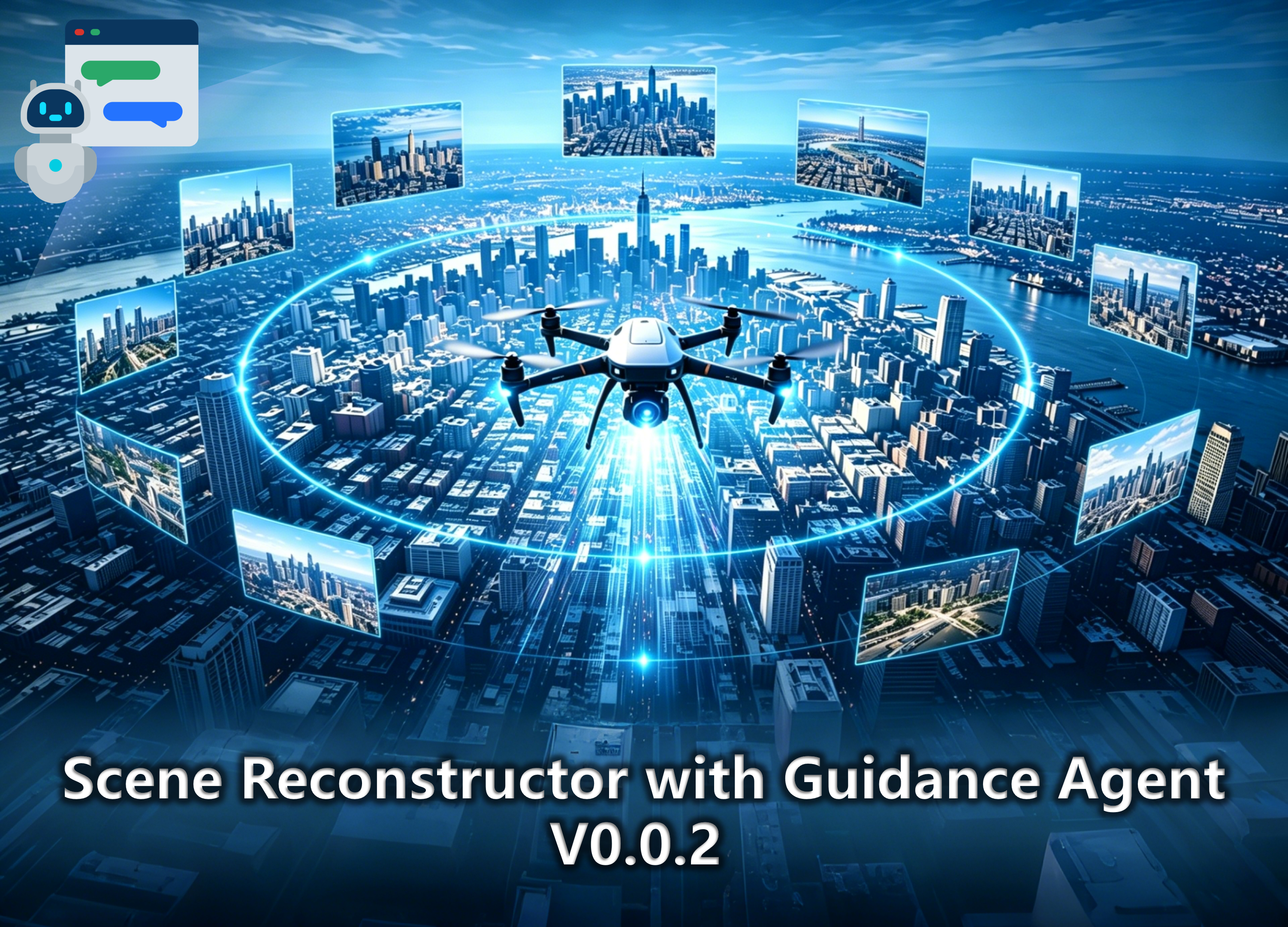
A Python-based local software and cloud service system that integrates 3D functionalities including sparse reconstruction, point cloud regions annotation, 3D Gaussian Splatting (3DGS) real-scene model construction on-cloud, real-scene rendering on-cloud, and LLM-agent guidance. The system can support applications in tourism and disaster overview, and currently supports fast deployment on both Local (Windows 11) and Server (Linux) environments.
The system has been awarded with National First Prize in the College Students' Surveying and Mapping Discipline Innovation and Entrepreneurship Intelligent Competition of 2026!
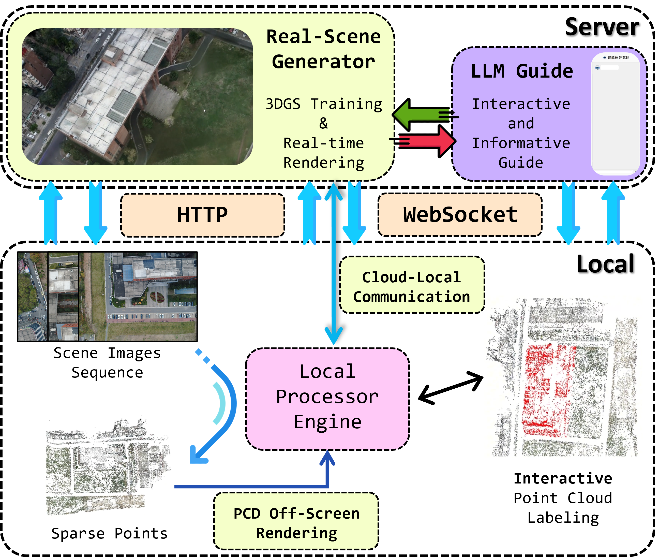
The third-party libraries used in this system are: PyQt5, PyColmap, PyOpenGL, PyVista, OpenAI Python, Open3D, WebSocket-Client, FastAPI, uvicorn, plyfile, 3DGS, Python-Multipart
This project is released under a Non-Commercial Research License.
The software is free for academic research and non-commercial use.
Commercial use requires a separate license from the authors.
See the LICENSE file for details.
For commercial licensing, please contact:
rs_lover@163.com
If you find this project useful in your research, please consider citing:
@misc{tang2026informative,
    title = {Informative Scene-Reconstruction App},
    author = {Tang, Haojun and Wu, Yuyang and Zhang, Zhiming and Zhang, Jingran and Zou, Siyuan},
    year = {2026},
    note={GitHub repository},
    howpublished={https://github.com/DonaldTrump-coder/Informative-Scene-Reconstruction-App}
} Informative Scene-Reconstruction App